Stromness Whaling Station and Shackleton Valley
Today’s plan for an early morning landing at Gold Harbour and a zodiac cruise at Cooper Bay was scuttled in favour of Stromness last night. The weather forecast of strong winds and swell saw the Captain and Expedition Leader decided that the relatively calm waters of Stromness Harbour were a better bet. The weather is overcast, with the sun breaking through as we approach the whaling station. A forecast of 3 degrees Celsius in the morning and 2 degrees in the afternoon indicate some rapidly deteriorating weather conditions.
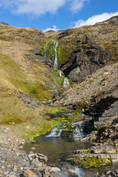
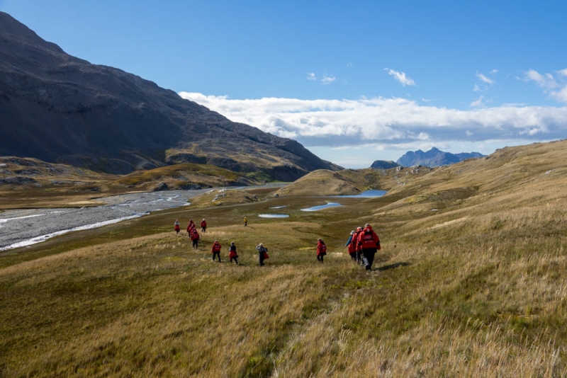
My group is the first out, and the options are to stay on the beach, wander on the edge of the 200m exclusion zone of the whaling station, or the hike to the waterfall that Shackleton descended on his way to raise the alarm.
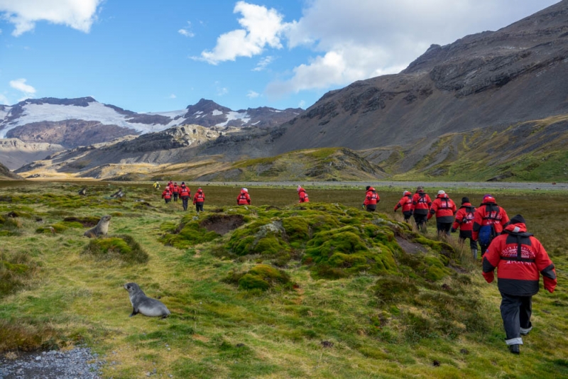
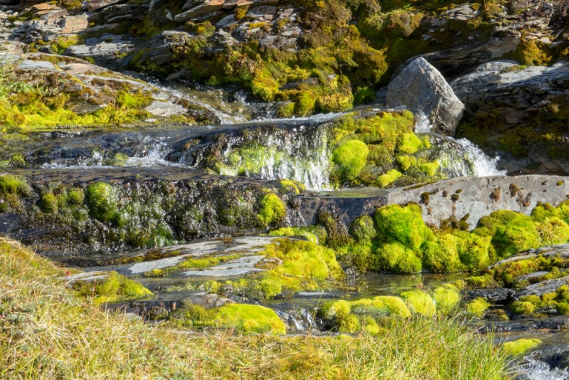
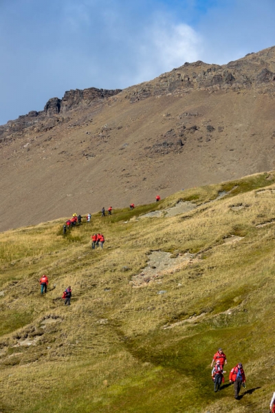
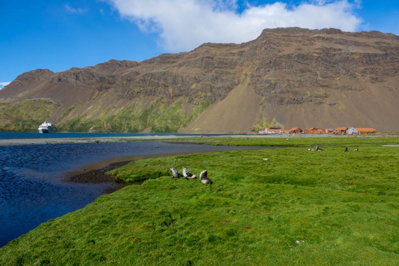
It’s about 4-5km to the waterfall, past the plains of the valley with Antarctic Fur Seal pups awaiting their mothers’ return, and the weather is rapidly brightening to a sunny day. For some inexplicable reason, the deputy expedition leader decides that the best path is through the boggy grass and moss beside the dry river bed. It’s not particularly pleasant walking for the first kilometre or so, but eventually we are forced on to the riverbed, which is far easier going. By the time we reach the waterfall, it is bright and sunny, and at 3 degrees I’m still too warm in just a thermal layer and parka. The biting wind whipping down off the glaciers is enough to discourage stripping down to a thin fleece though. The waterfall seems to have had a substantial growth of moss since my last visit, or perhaps it is just the sunlight that is making it stand out.
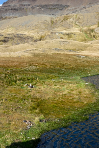
We detour up a small hill on the way back – it’s wet and boggy on the way up, but the reward is the small lakes hidden from view at ground level, and what seems to be a Gentoo penguin graveyard from a hidden inland colony. It’s probably a result of the usual scavengers not venturing that far to clean up the carcasses, but the number of dead birds, including a recently deceased southern giant petrel around one pond, makes me wonder whether the water at that pond is contaminated.
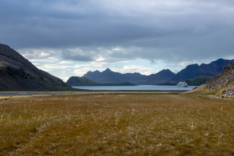
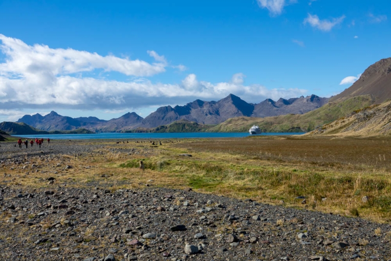
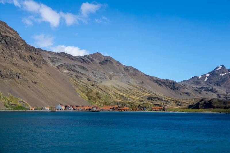
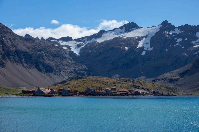
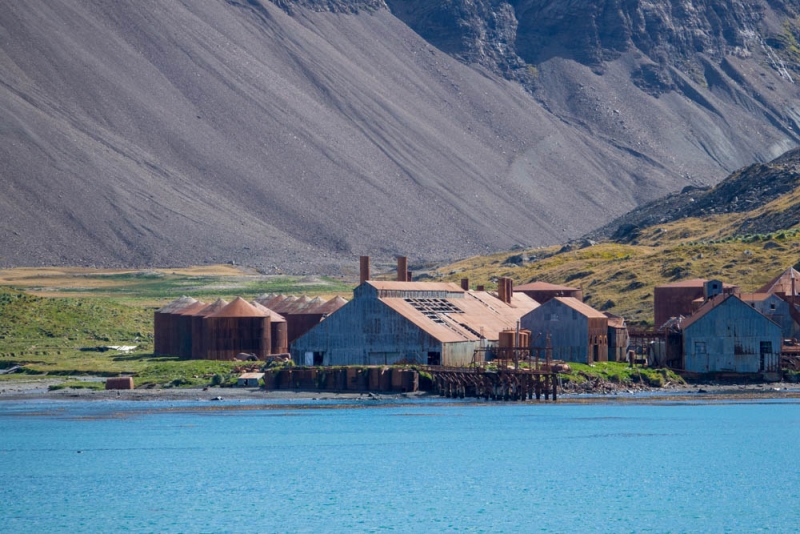
The wind is kicking up at the landing site, so it has been moved to a sheltered corner of the beach, which affords some spectacular views of the whaling station in the sunlight.
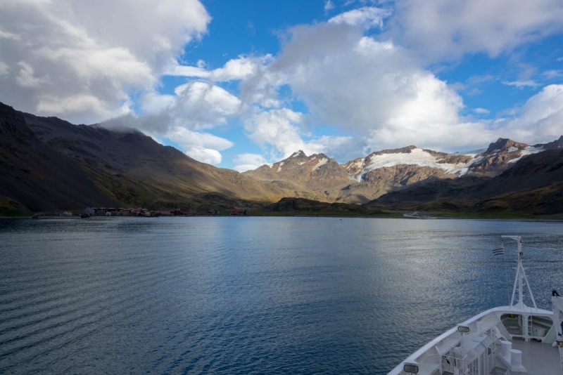
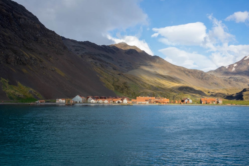
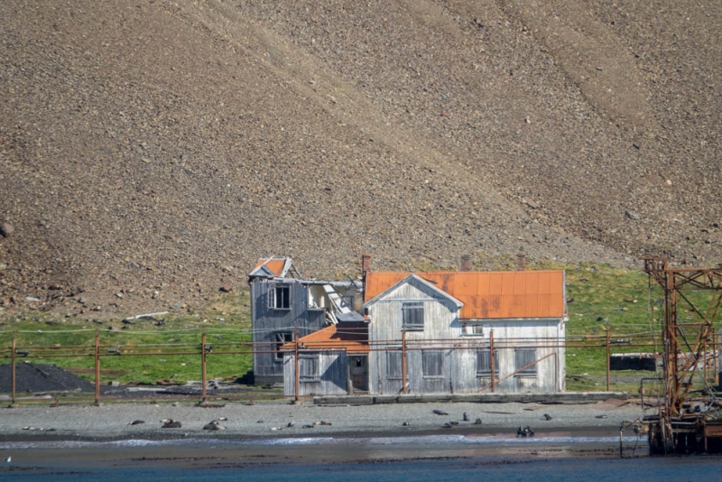
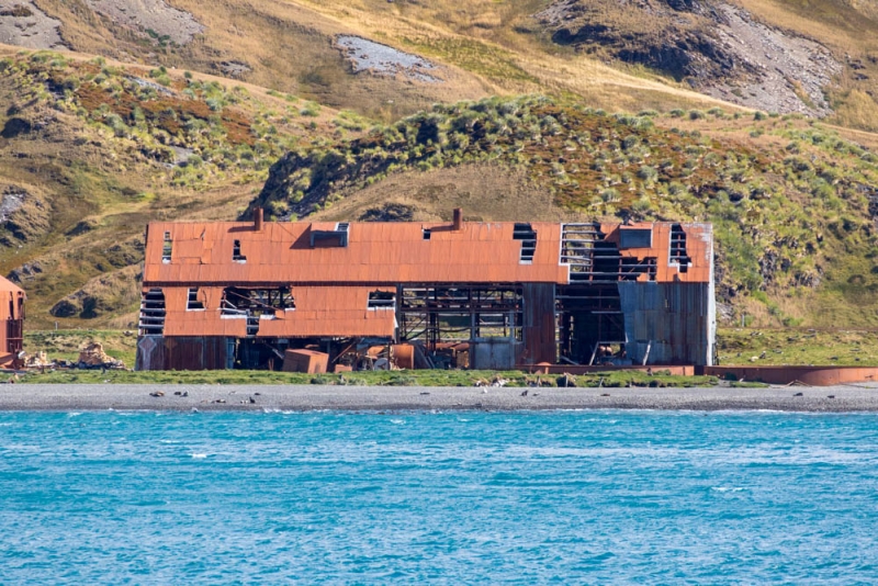
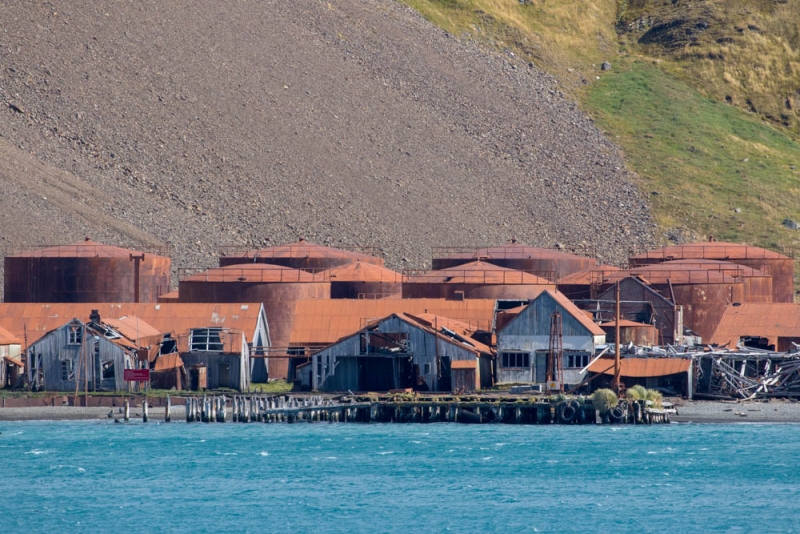
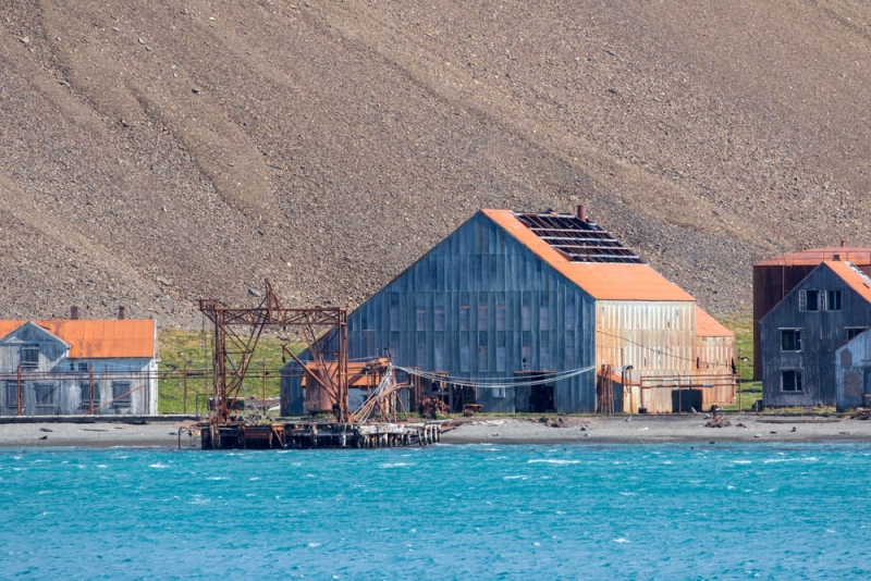
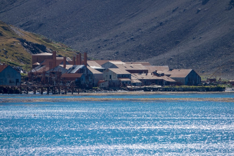
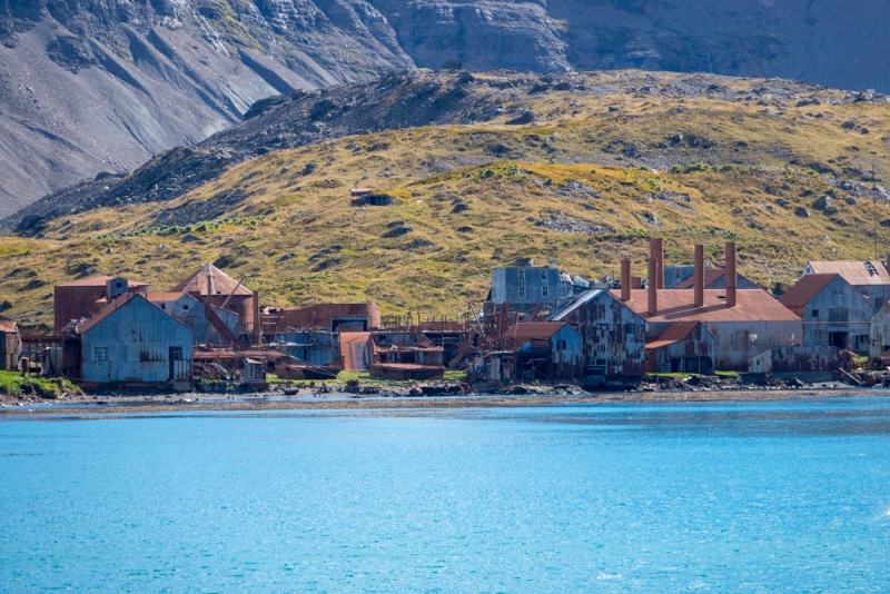
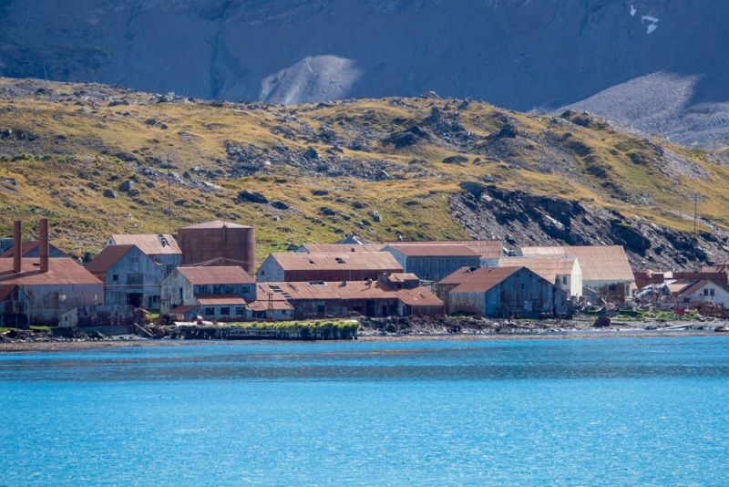
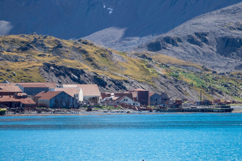
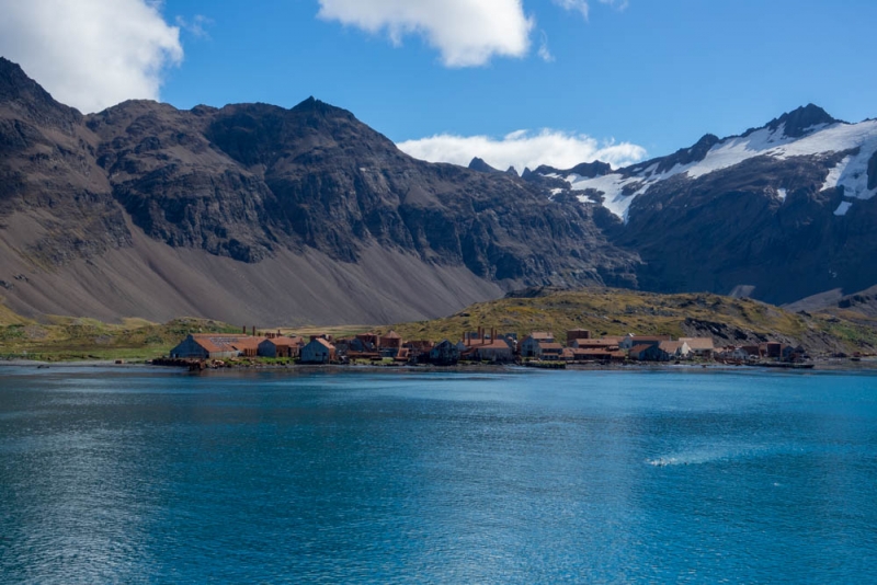
The best views of the station are ironically from the ship though due to the exclusion zone. The Shackleton legend is that Shackleton, Worsley and Crean approached the manager’s villa here to ask for help. The problem is that the building that is currently called the manager’s villa, complete with commemorative signage, which most expeditions point out as ‘the villa’, was found in a 2010 study commissioned by the South Georgia Government not to be the building that was the manager’s villa in 1916. It is therefore not the building that Shackleton, Crean and Worsley approached in 1916. The confusion seems to have arisen as Stromness was converted to be a ship repair yard for the Leith Harbour whaling station in the 1940s after WWII, having been closed since the 1930s, and reconfigured and extended accordingly. The photo below is of the building that was widely believed to be “Shackleton’s villa” until the work outlined in the Stromness Gazetteer from 2011, is shown below.
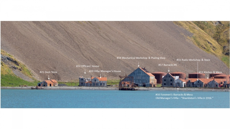
The building that was the manager’s villa in 1916 is closer to the centre of the station, and was renamed at some point to be the Foremen’s Barrack and Mess, which makes it the ‘villa’ that Shackleton most likely approached in May 1916. It is a more nondescript and difficult to see building in the jumble of buildings. The 2010 assessment team were able to access the building and the first floor, which makes their visit and photos an important historical record given the poor shape that the building is in, and the likelihood of further structural collapse. There is some evidence of attempts to preserve the building since 2011 based on the boarded up windows and doors, which is not present in the 2010 photographs shown in the Stromness Gazetteer. According to the Government of South Georgia website, this conservation work was done in the 2012-14 summers. The conservation work also makes it more difficult to identify the correct building, as the boarded up windows and doors have changed the appearance of the building entirely, and the building itself can only be viewed from the ship. I’ve been intrigued enough to annotate one of my photos with the building numbers and names from the map in the Gazetteer, shown below. Building #20 is the one that is usually pointed out as ‘the Stromness Villa’ – the correct building is now believed to be #16.
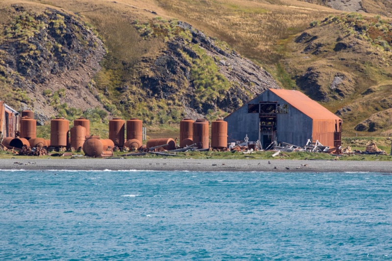
Stromness makes it apparent just how much of Grytviken has been demolished – what remains of Grytviken is tiny in comparison to the crowd of buildings at Stromness, a reflection of the amount of decontamination and demolition required to make the site safe for visitors.
It’s been four seasons in one day so far – brilliant sunshine, a little rain early in the morning, frigid winds, and as we wait in the sunshine to leave Stromness, tiny snowflakes are falling in the sunshine from a passing cloud.
Leith Whaling Station
As we leave Stromness, Commandant Garcia decides to nose Le Lyrial in for a closer look at Leith Whaling Station, which is just around a small headland from the Stromness whaling station. A local gang of juvenile fur seals swim out to check out the interlopers and decide we’re too big to deal with.
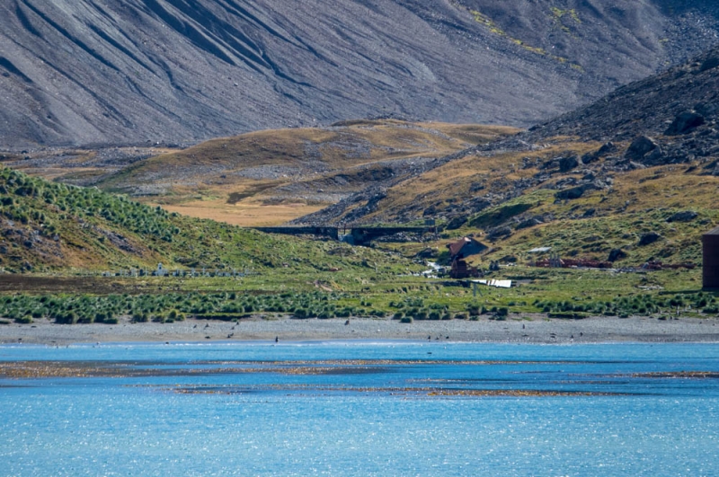
I’ve seen Leith before, but not as close, or in this kind of clear, brilliant sunshine. We are close enough to see the sizeable cemetery to the left of the station, and that the dam corralling the fresh water stream running down from the mountains is still intact, 53 years after the whaling station was abandoned.
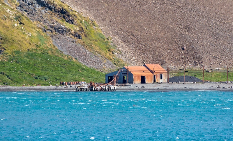
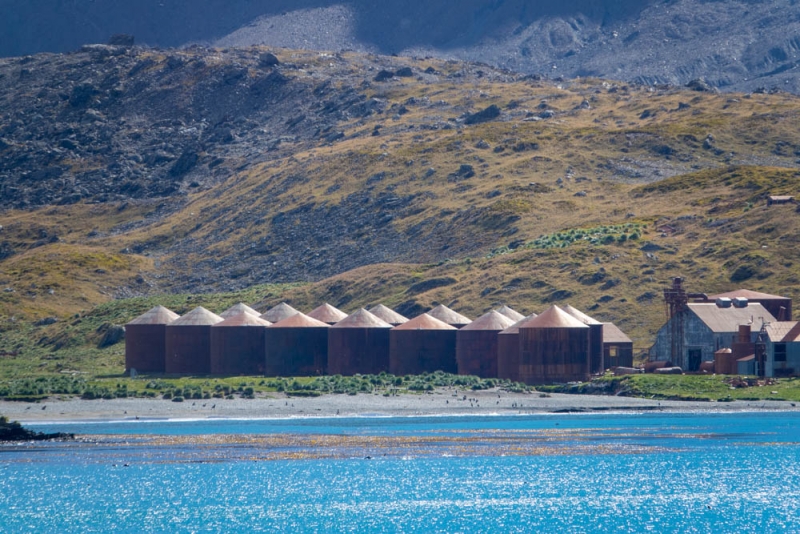
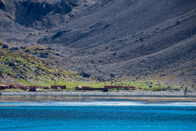
The buildings look like they are in better shape than Stromness – it seems a little more protected fro the winds that whip down the valley. The roofs are more intact than Stromness in places, but there is a significant amount of debris from what looks like a landslip at the right hand side of the station and what looks like collapsed structures and machinery in the centre of the station. What looks like a two story accommodation building (probably the Trehus Barracks or Hillside Barracks) has lost it’s roof, and the interior walls appear to be collapsing from the onslaught of the elements.
It is only when I’m examining the photographs in detail later that I realise I’ve captured the crow’s nest and mast of a sunken whaling or sealing ship at the far end of the whaling station. From the mast and crow’s nest, it looks like it might be of a similar size to the Albatros or Dias, the sealer and whaler vessels now refloated at Grytviken. A film crew that visited in 2014 with the permission of the South Georgia Government obtained a better view of the crows nest without realising it I think.
Leith is a whaling station of significant size, and while I’d love to land and suit up in full hazmat gear to look around, the risk of asbestos and flying and submerged debris has the Commandant backing carefully out again. The next best thing to landing here is to read the study commissioned by the South Georgia Government in 2010 to assess the hazards present at all of the remaining whaling stations, including Leith. Their report, the Leith Gazetteer,is fascinating reading. A trip highlight so far!
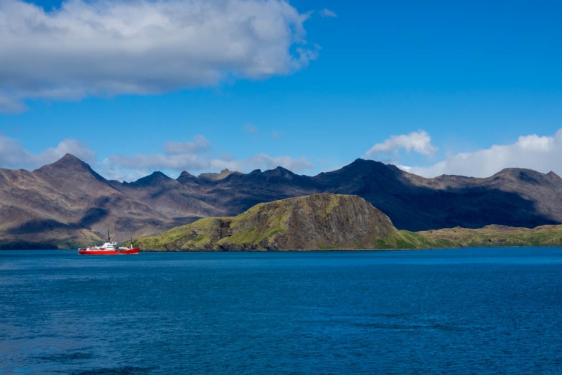
As we are departing, the fisheries vessel that was docked in Grytviken yesterday arrives on patrol.
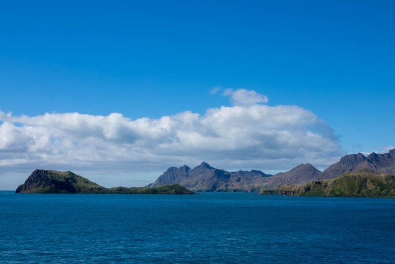
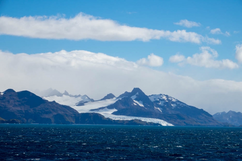
There is a large low pressure system heading east across South Georgia, and we’re heading northeast to avoid it, with the next destination the islands of Tristan da Cunha and Nightingale Island in 4 days time. Au revoir to South Georgia until the next time!

